
-
USD -
EUR(€) -
MDL(MDL) -
BGN(лв) -
XOF(FCFA) -
GTQ(Q) -
DZD(د.ج) -
VUV(VT) -
IRR(﷼) -
ANG(ƒ) -
LKR(₨) -
EGP(EGP) -
BZD(BZ$) -
CRC(¢) -
MAD(DH.) -
OMR(RO.) -
KES(KSh) -
GHS(₵) -
UGX(USh) -
RSD(Din.) -
RON(lei) -
PGK(K) -
CDF(CDF) -
UYU($U) -
KZT(〒) -
PKR(Rs) -
MNT(₮) -
ARS(ARS$) -
COP(COP) -
MVR(Rf) -
IQD(د.ع) -
BDT(Tk) -
ZMW(ZK) -
NAD(N$) -
JMD(J$) -
AOA(Kz) -
MMK(K.) -
PEN(S/.) -
MOP(MOP$) -
BND(B$) -
LAK(₭) -
VND(₫) -
NGN(₦) -
KHR(៛) -
TWD(NT$) -
SAR(S.R.) -
BHD(BD.) -
QAR(QR.) -
KWD(K.D.) -
UAH(₴) -
IDR(Rp) -
MYR(RM) -
AED(AED) -
JPY(円) -
INR(Rs) -
TRY(₺) -
CLP(CLP) -
KRW(₩) -
ZAR(R) -
SEK(Kr) -
ILS(₪) -
HKD(HK$) -
THB(฿) -
PLN(zł) -
NZD(NZ$) -
NOK(Kr) -
MXN(MXN$) -
HUF(Ft) -
CZK(Kč) -
SGD(S$) -
PHP(₱) -
DKK(kr.) -
CHF(CHF) -
BRL(R$) -
RUB(₽) -
CAD(CA$) -
AUD(AUD) -
GBP(£) -
USD($)
-
Home
/
Garmin GPSMAP H1 / H1i Plus Rugged GPS Handheld
Garmin GPSMAP H1 / H1i Plus Rugged GPS Handheld
Quantity
-
Detail
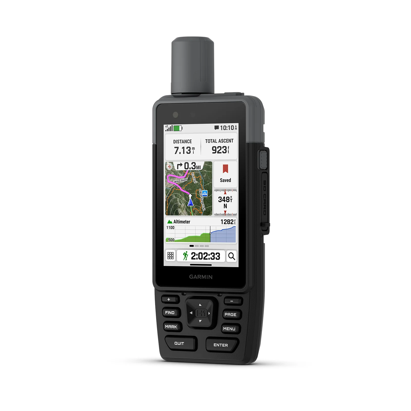
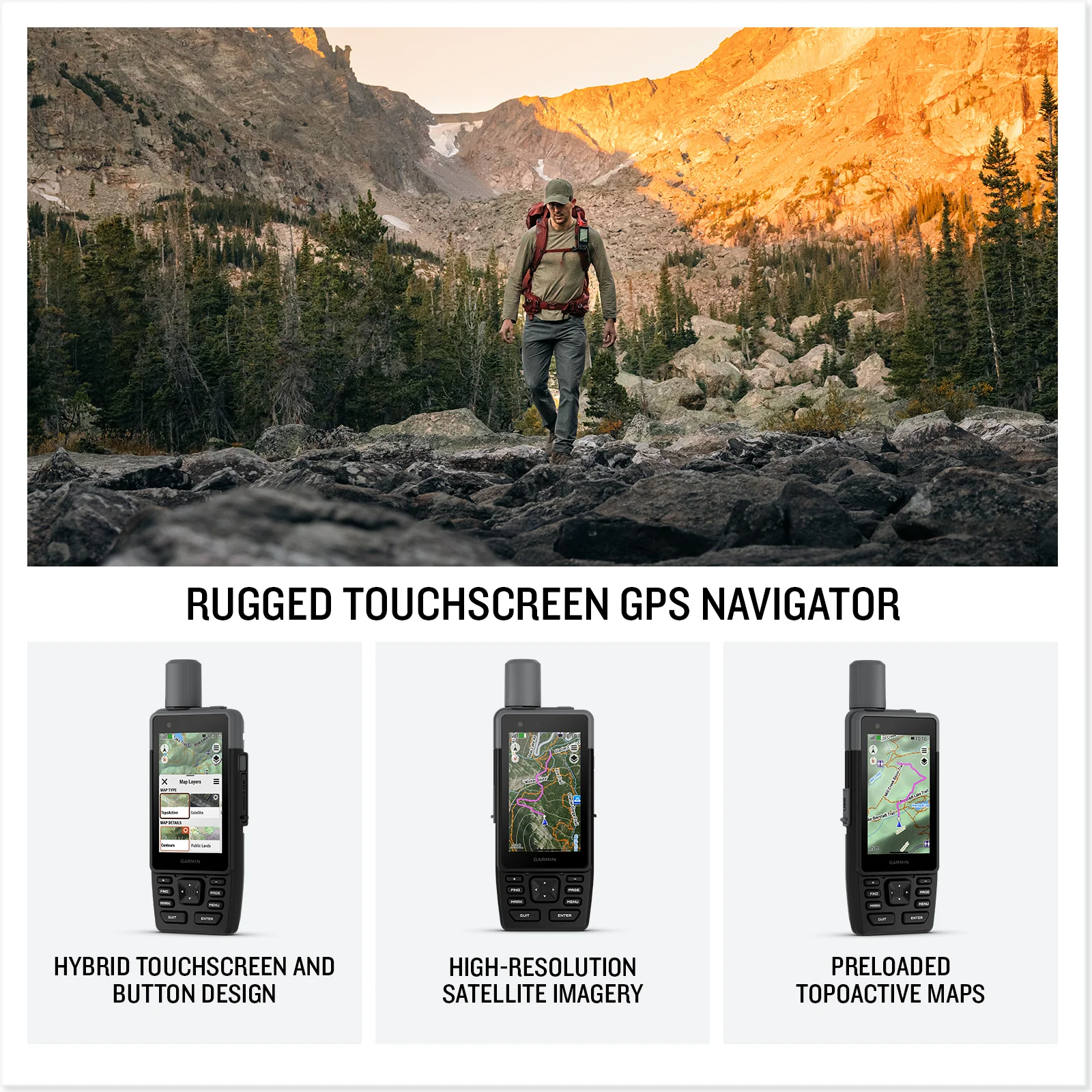
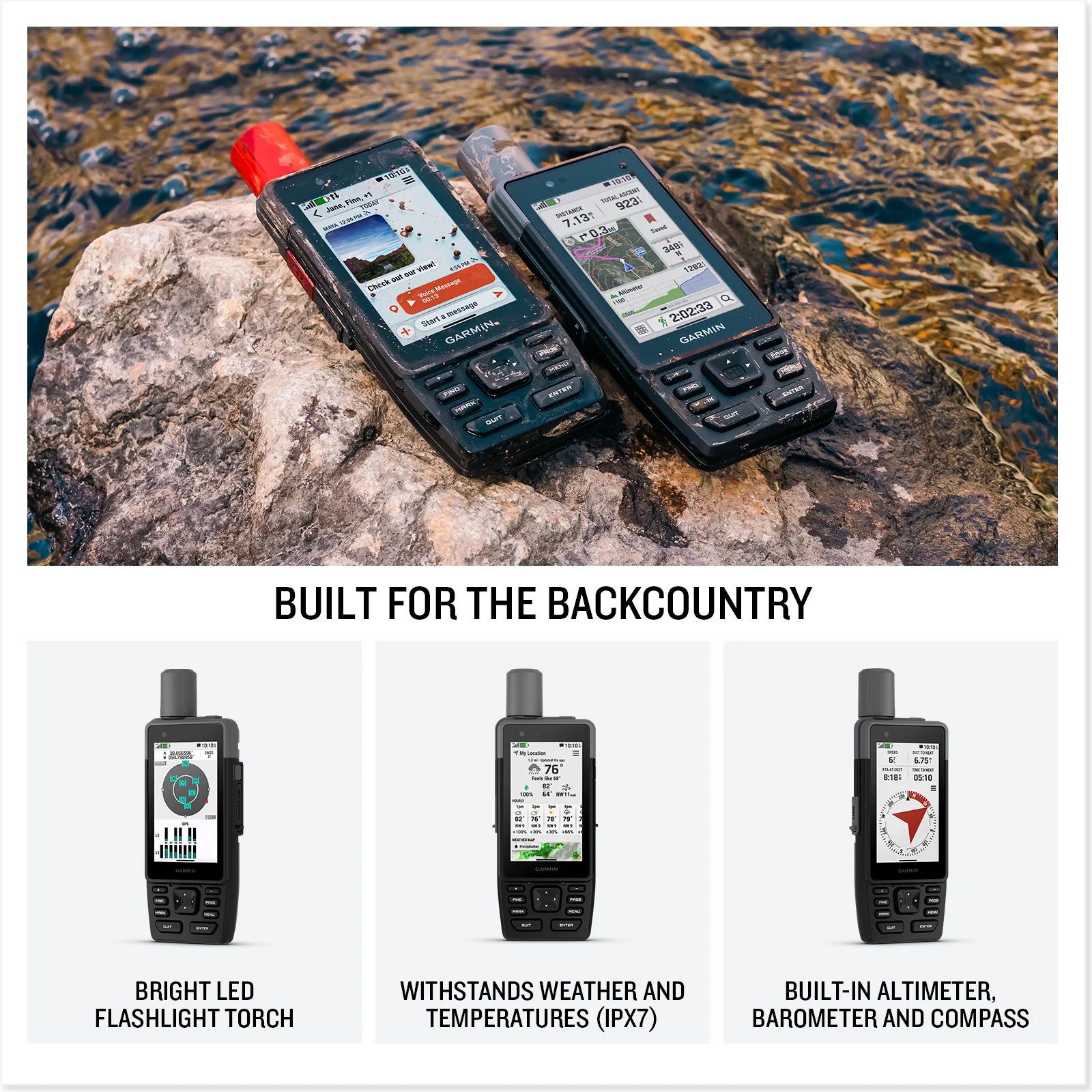
When adventure calls. respond. This rugged GPS handheld navigator's hybrid design boasts a bright 3.5" color touchscreen display. physical buttons for versatility and a long battery life of up to 145 hours in GPS mode. Easily navigate trails with preloaded TopoActive maps. downloadable satellite imagery and the option to purchase an Outdoor Maps+ subscription for ongoing access to premium map content.
About this item
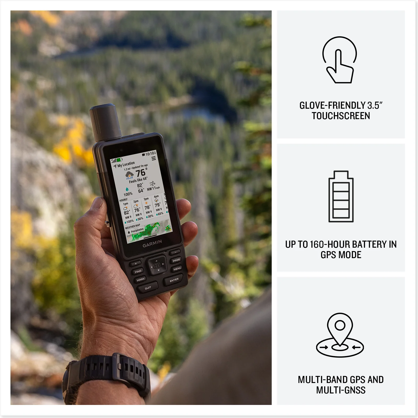
- Rugged GPS handheld navigator boasts a sleek hybrid design offering a bright 3.5" touchscreen that is sunlight readable. glove-friendly and has chemically strengthened glass to resist scratches; plus. physical buttons provide more versatility in any conditions
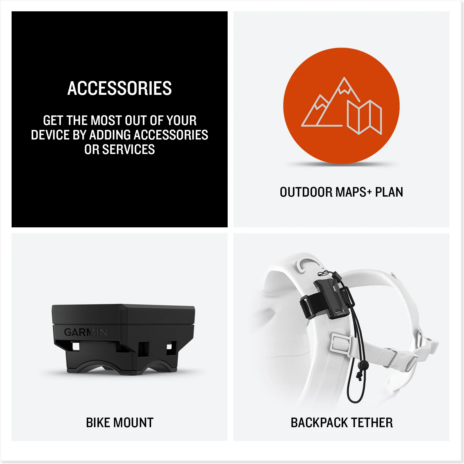
- Navigate trails with ease by using preloaded TopoActive maps. downloadable high-resolution satellite imagery and the option to purchase an Outdoor Maps+ subscription for ongoing access to a variety of premium map content
- Multi-band GPS and multi-GNSS support for superior positional accuracy and precise knowledge of where you are
- Built to meet MIL-STD 810 for thermal. shock. water (IP67) and vibration to withstand weather and extreme temperatures
- Compatible with the Garmin Explore™ smartphone app for seamless trip planning. locating geographic points and route-sharing capabilities
- Use the built-in flashlight as a beacon to signal for help. or use as a torch to light your way when the path goes dark
- Built-in siren can be activated to emit a loud alarm to help draw attention if you are in need
- ABC sensors include an altimeter for elevation data. barometer to monitor weather and 3-axis electronic compass
- Features an integrated Spine Mount 2 with included removable loop carabiner for more versaility on your adventure; compatible with additional Spine Mount 2 accessories (sold separately)
- Battery Life:
- GPSMAP H1 (without inReach): up to 145 hours in all Satellite Systems + Multi-band mode (assuming typical use with SatIQ™ technology).
- GPSMAP H1i Plus (with inReach): Long battery life up to 145 hours in all Satellite Systems + Multi-Band mode. assuming typical use with SatIQ™ technology; up to 845 hours in Expedition mode
- Features only available on the GPSMAP H1i Plus (with inReach):
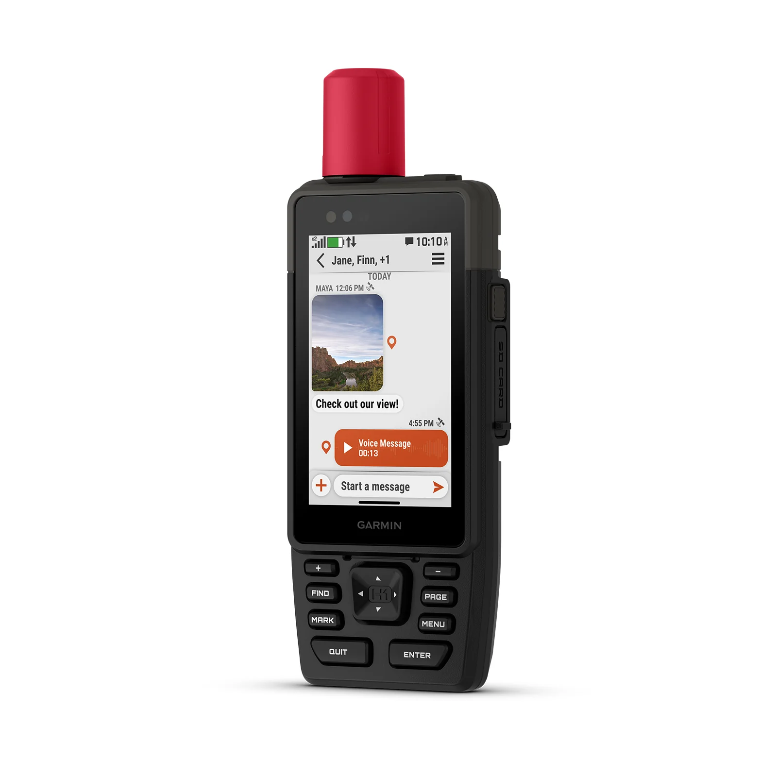
- Helps you stay in touch when you venture beyond cell service; with an active inReach satellite subscription. you can exchange texts or use the built-in camera/mic to snap and share photos and voice messages (some jurisdictions regulate or prohibit the use of satellite communication devices)
- With an active inReach satellite subscription. you can trigger an interactive SOS message to the 24/7-staffed Garmin ResponseSM international coordination center for assistance in an emergency (some jurisdictions regulate or prohibit the use of satellite communication devices)
- Pair with the Garmin Messenger app on your mobile device to exchange photos. voice and text messages — even trigger an SOS message in an emergency. all from the familiar interface of your smartphone (some jurisdictions regulate or prohibit the use of satellite communication devices)
- When you venture off-grid. use LiveTrack location sharing to let friends or family follow your location while you are on the move; no need to point your device directly toward to sky to find satellites. They can see your progress. including distance. time and elevation.
- Get weather reports and request forecasts for your destinations with an active inReach satellite subscription (some jurisdictions regulate or prohibit the use of satellite communication devices)
- Use voice commands to conveniently handle many tasks. including check-ins. start tracking. take a photo and more; available in English. German. Italian. Spanish. French. Swedish. Dutch and Danish.
- Integrated front and back cameras allow you to snap selfies and photos of your trip
⚠ Ca Residents: Proposition 65 warning
-
Customer ReviewsNo comments